GEOGRAPHIC INFORMATION SYSTEMS

The current need for integration and management of project data in information systems requires the presence of this expertise in engineering studies. It enables modelled and structured information to be offered to support data management and technical and political decision-making.

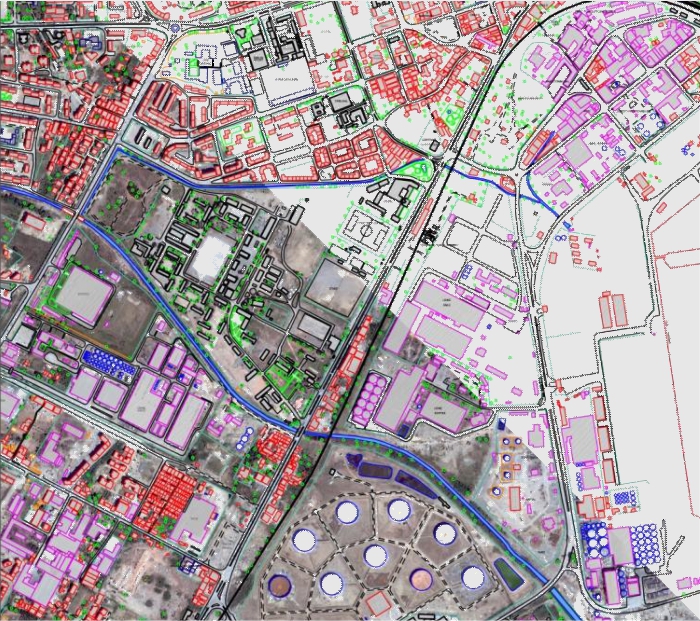
Companies need practical and functional information management that allows easy access to its users. Our geographic information systems services range from the acquisition of information to its integration and exploitation.

Our contribution

LandCOBA's intervention is defined in the following phases of implementing an Information System:

  • Definition of entities
  • Definition of business processes
  • Definition of the applicational needs to meet the pre-defined goals for the information system
  • Definition of the architecture of the information system
  • Implementation of the information system
  • Integration and exploitation of graphic and alphanumeric information

We develop the process of acquisition and preparation of graphic and alphanumeric data, whether obtained from field surveys or from existing information.

CONTACTS


FOLLOW US