
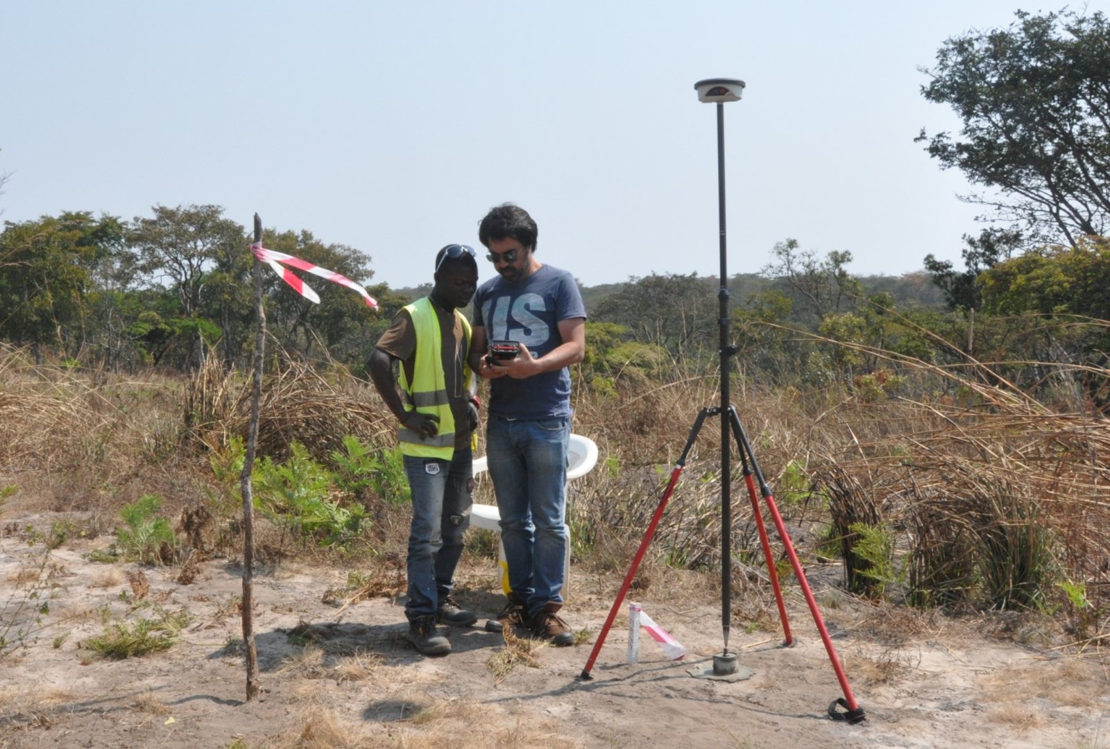
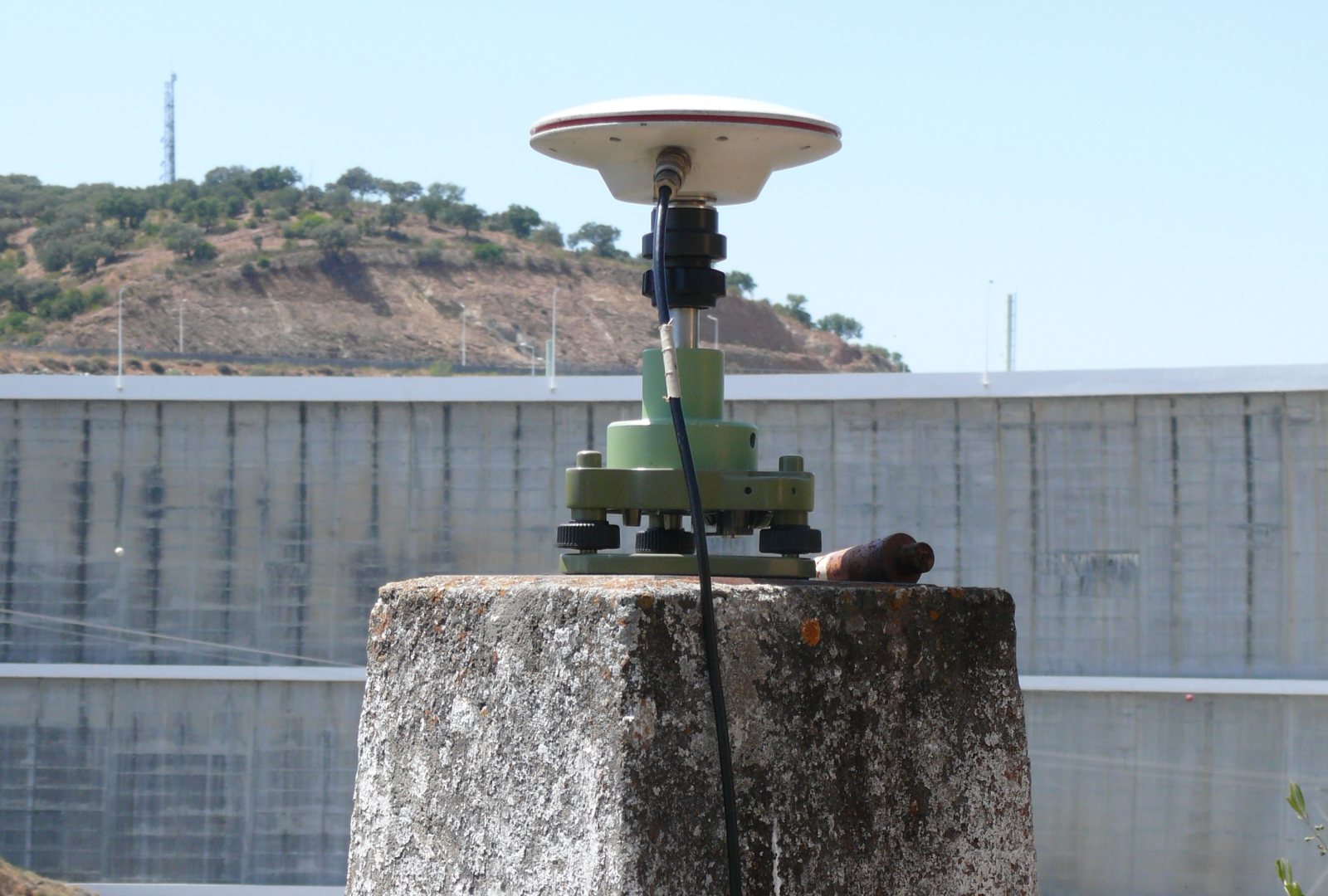
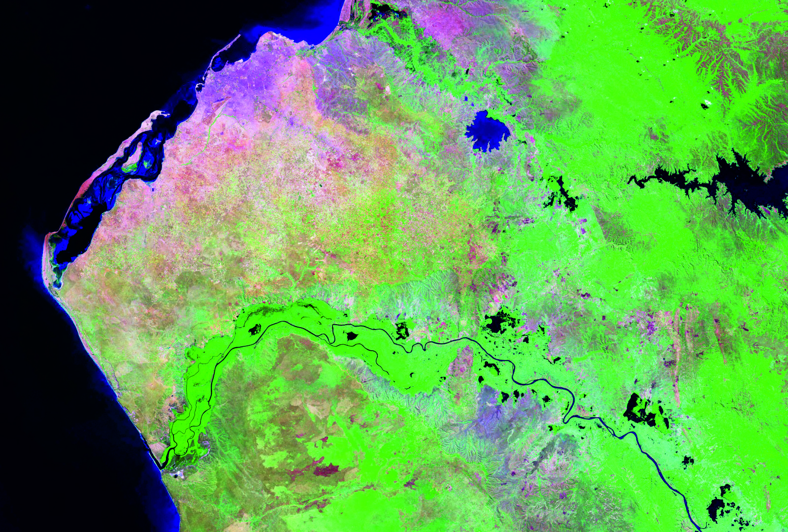
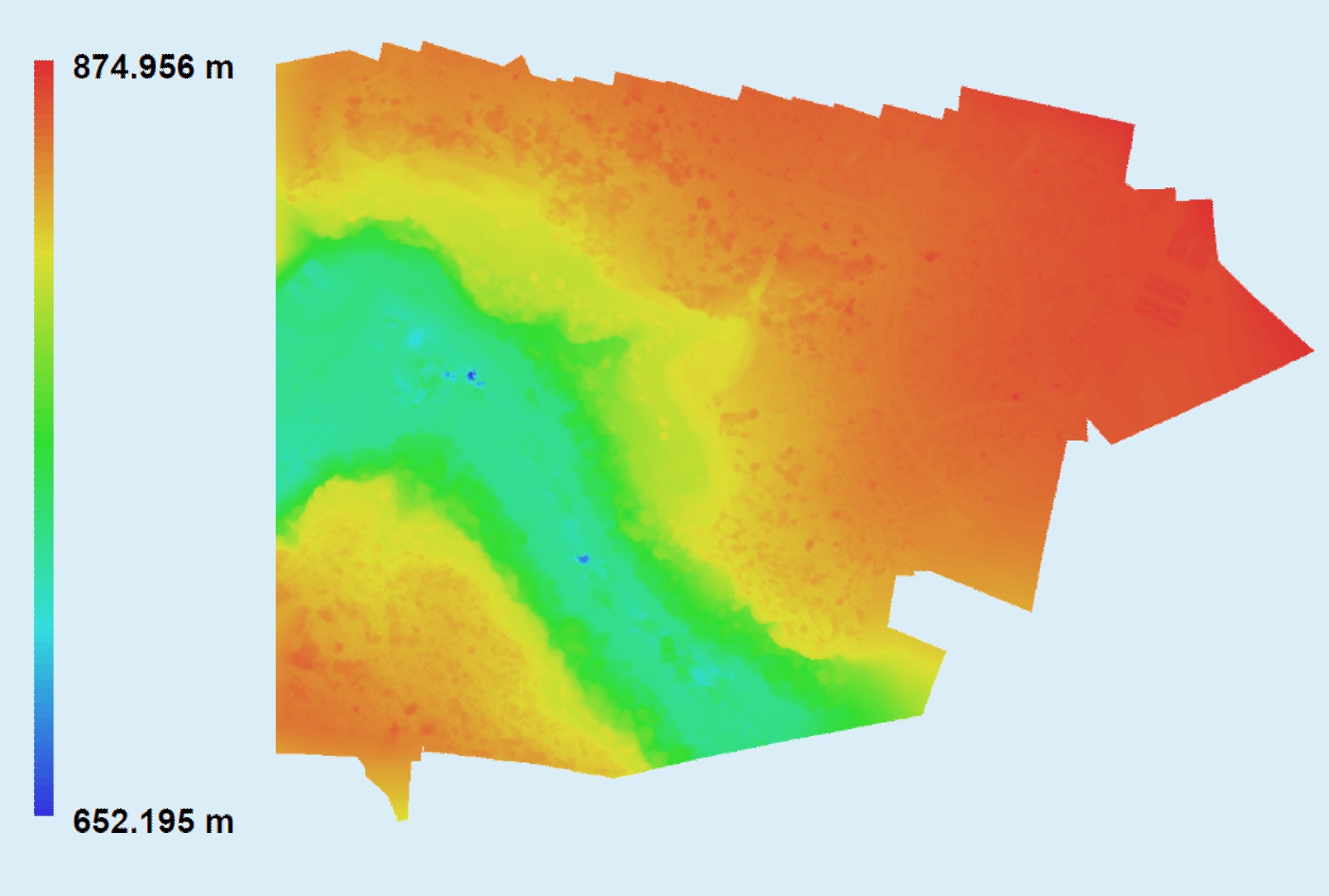
We have carried out photointerpretation of multitemporal series of satellite images and aerial photograph covers for the most varied purposes:
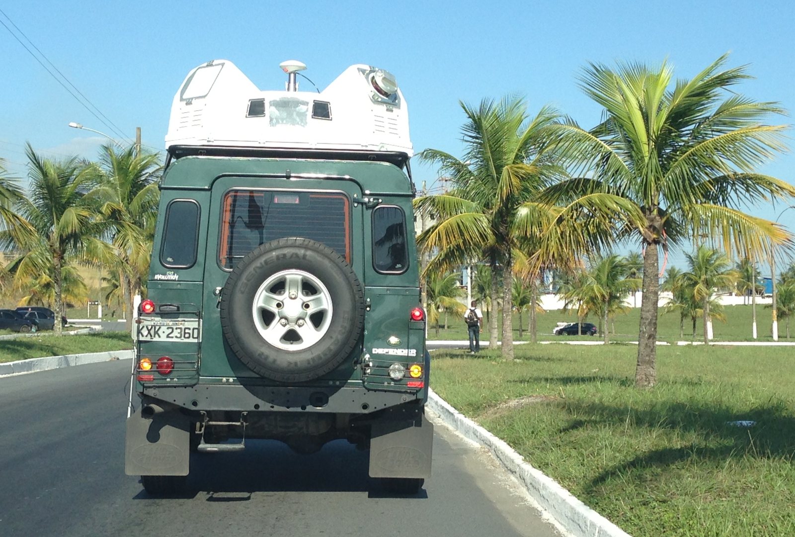
LandCOBA offers its clients the latest satellite technology.
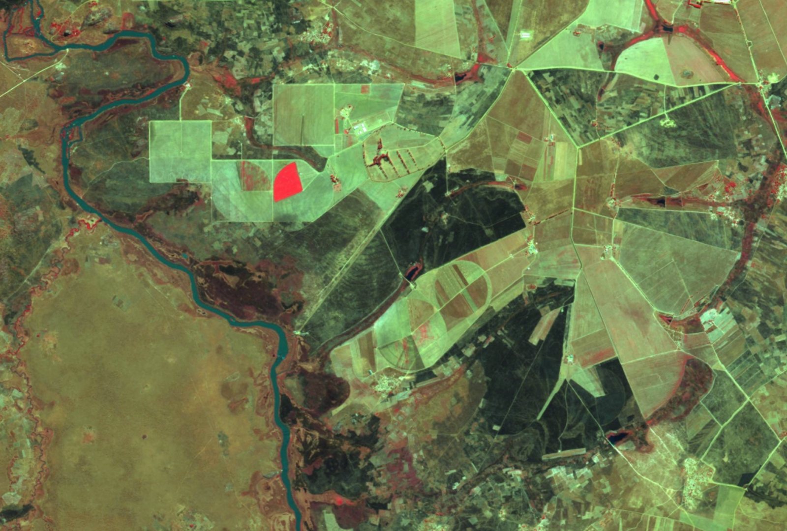
LandCOBA creates products associated with the use of satellite images, namely:
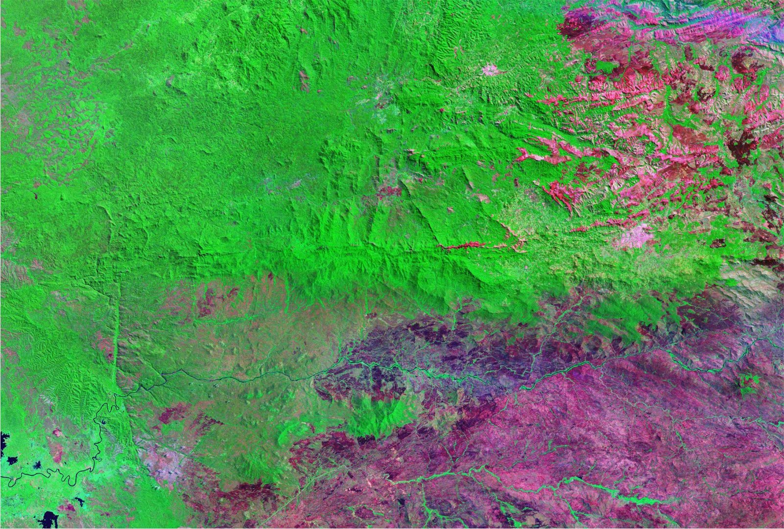
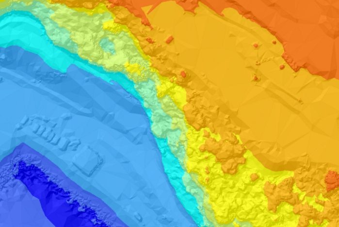
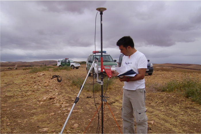
Remote Sensing is particularly important in regions of the world where traditional data acquisition reveals to be difficult to achieve.
FOLLOW US