SATELLITE IMAGES

LandCOBA provides the latest satellite imagery technology. Services provided include the search and acquisition of archived or scheduled satellite imagery. Products can be supplied raw or processed and include:

  • Panchromatic images
  • Multispectral images
  • Stereoscopic pairs of satellite images
  • Radar images
  • Global DEM and DTM models

LandCOBA offers its clients the latest satellite product technology


Airbus Defense and Space

Infoterra, TerraSAR-X and TanDEM-X products orbiting together and providing synchronous radar products in StripMap mode.

The Pleiades 1 and 2 satellites with a resolution of 0.5 m (panchromatic band) and 2 m for the 4 multispectral bands.


SATELLITE IMAGES

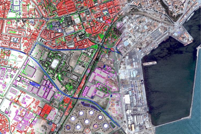
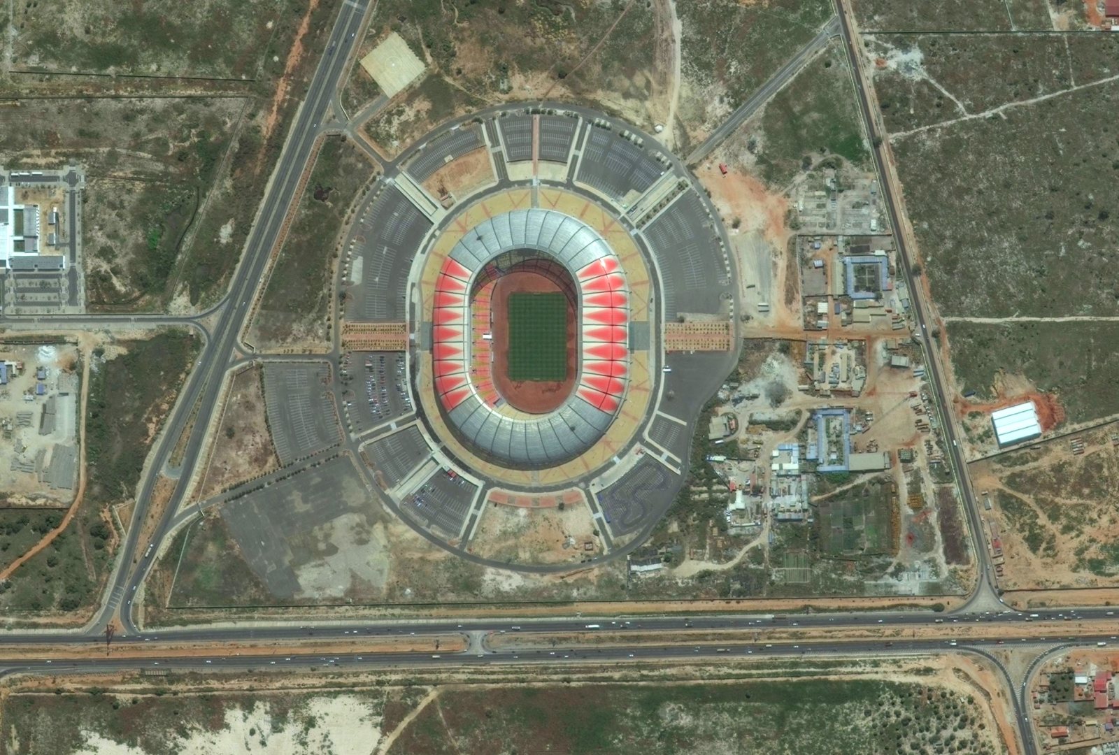
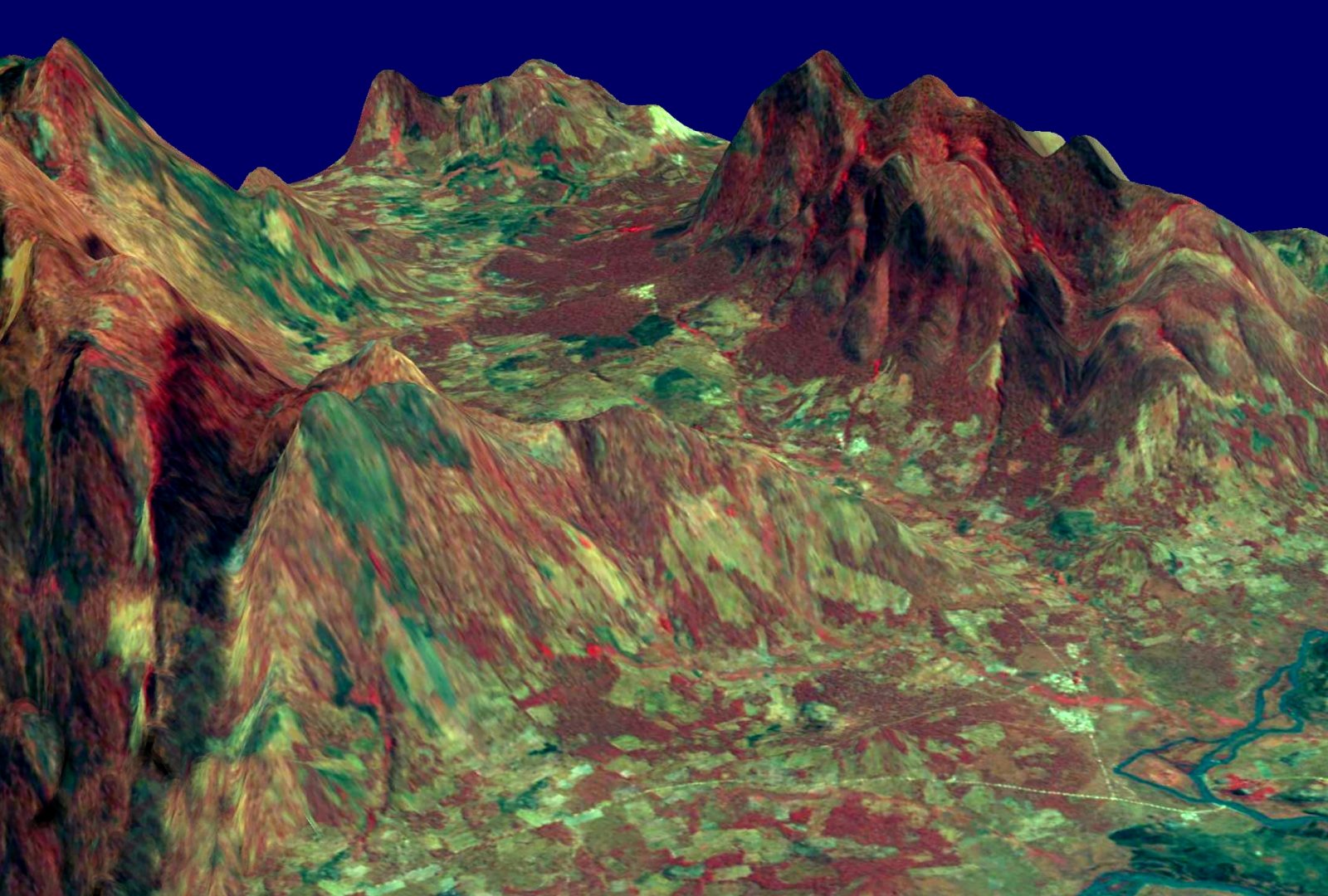
LandCOBA offers its clients the latest satellite product technology.


DigitalGlobe and GeoEye

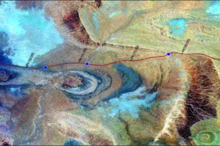
LandCOBA has extensive experience with QuickBird, Ikonos, WorldView and GeoEye imagery.

  • Quickbird - 0.65m panchromatic / 2.62m multispectral
  • Ikonos - 0.82m / 3.2m
  • WorldView 1/2 - 0.5m, 0.46m / 1.84m
  • WorldView 3/4 - 0.31m / 1.24m
  • GeoEye-1 - 0.46m / 1.84m

PARTNERS

Airbus Defense and Space - world leader in the geospatial business.


CONTACTS


FOLLOW US