
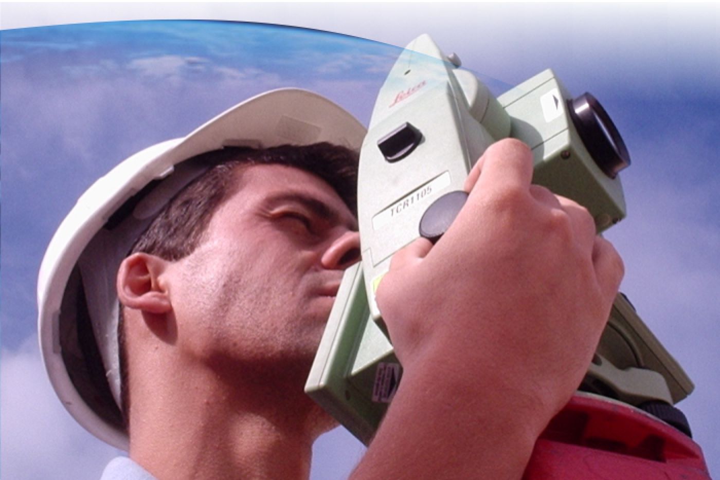
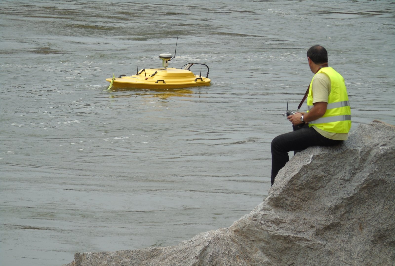
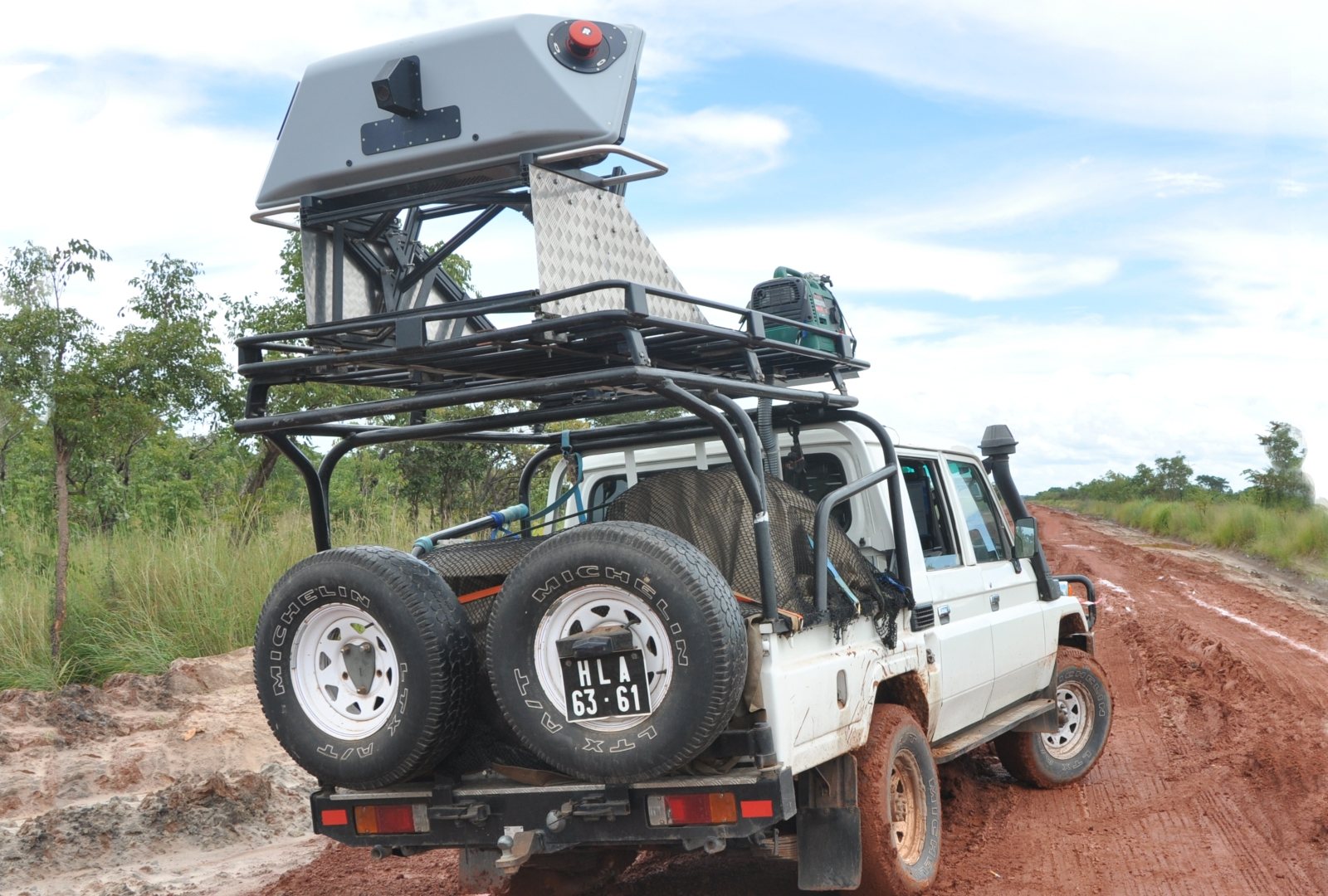
We develop tailor-made processes for the acquisition of field data using classic topographic processes with GNSS and total station technology. We also provide all types of topographic surveys and benchmarks grid implantation.
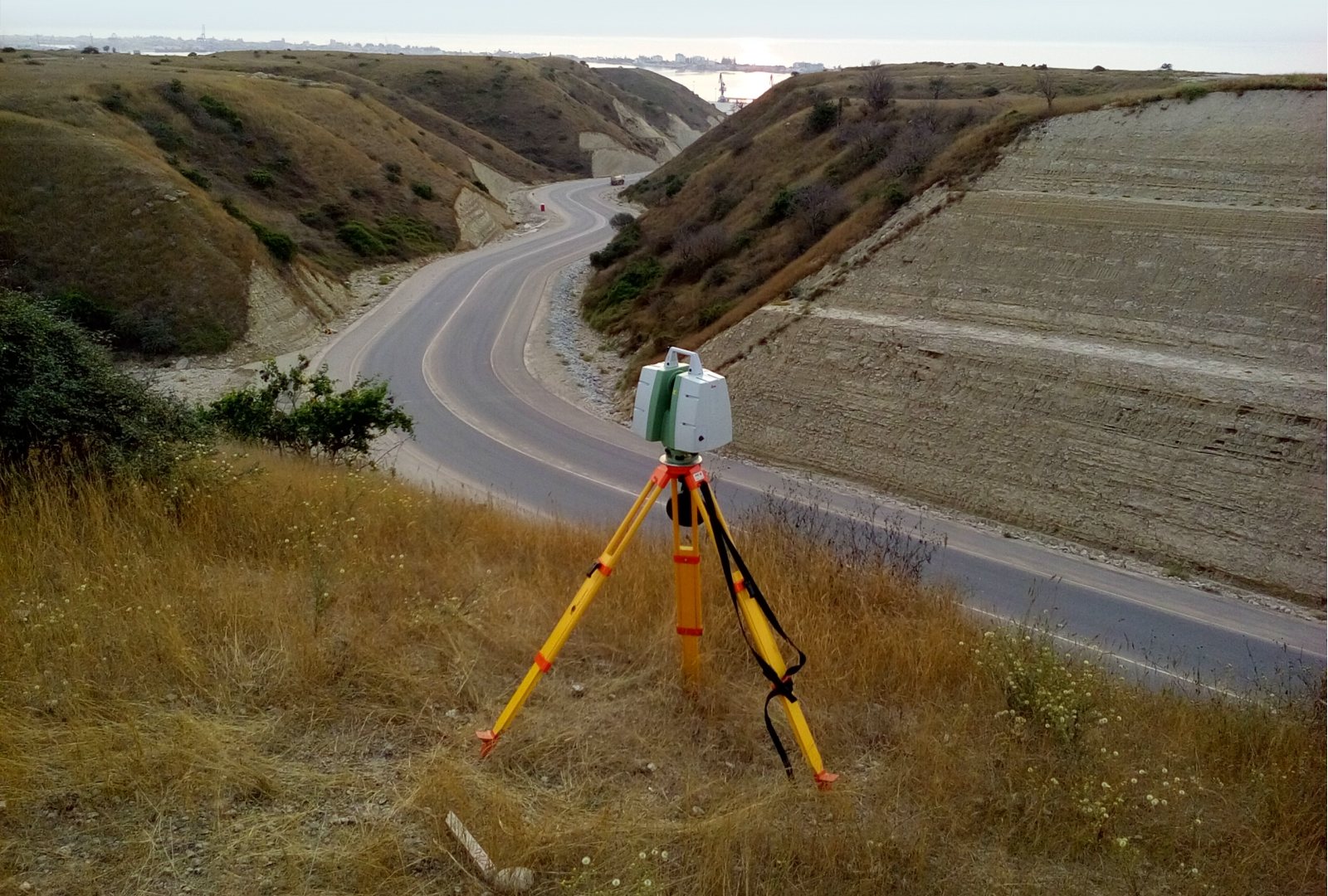
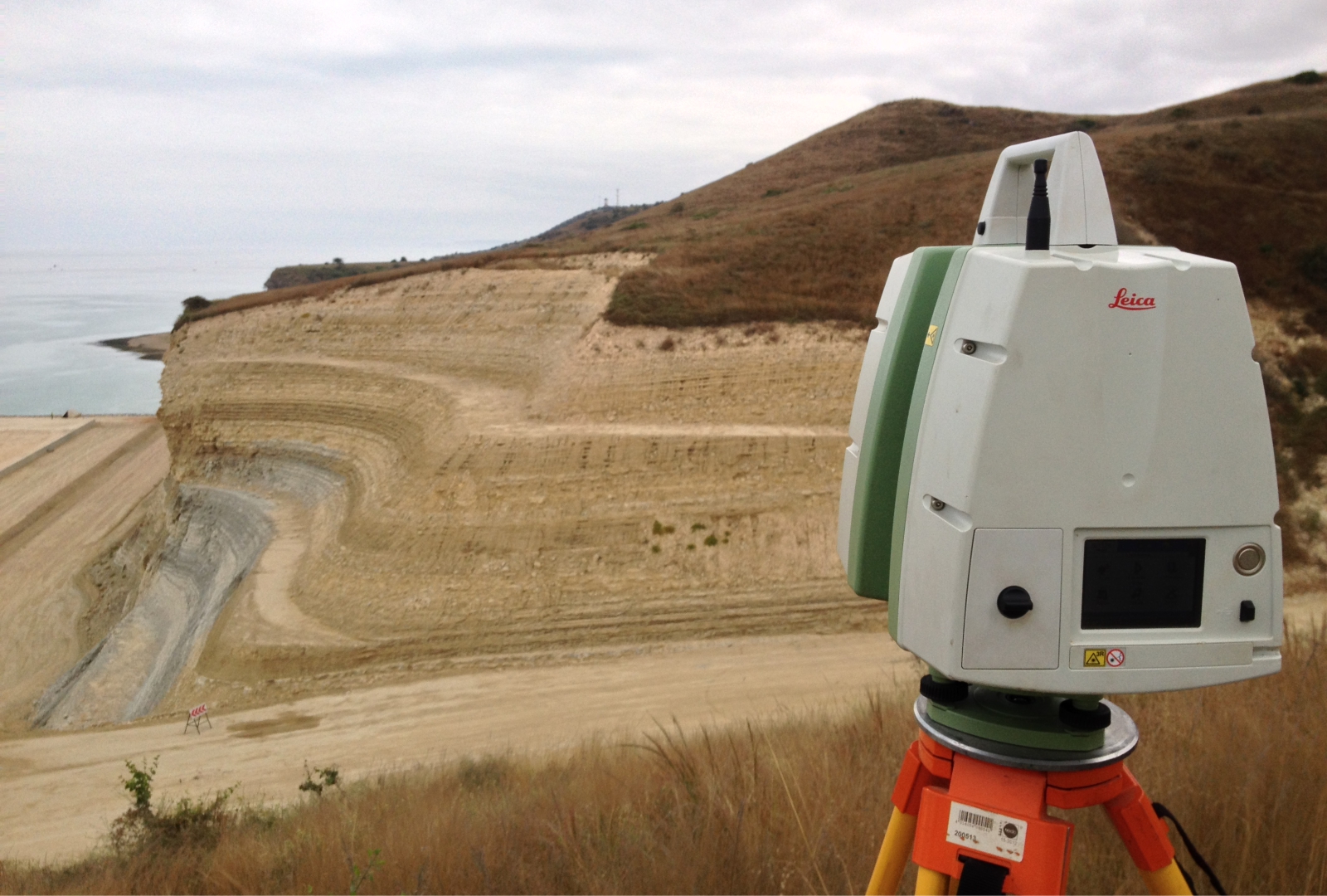
We operate state-of-the-art LiDAR field data acquisition equipment that enables us to produce, in a highly efficient manner, the full range of topographic products used in architecture and engineering.

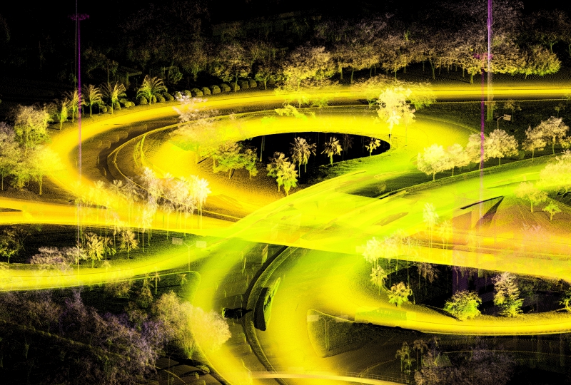
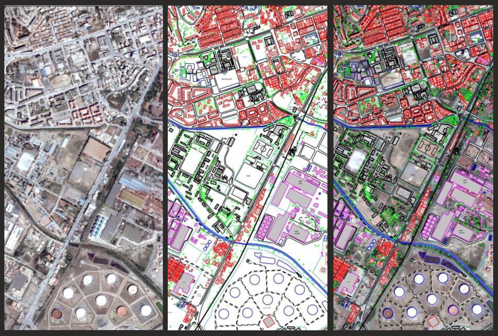
All that is visible is captured, photographed and georeferenced in 3D. After processing the acquired information, it is possible to obtain a cartographic product compatible with scale from 1:50 to 1:200.
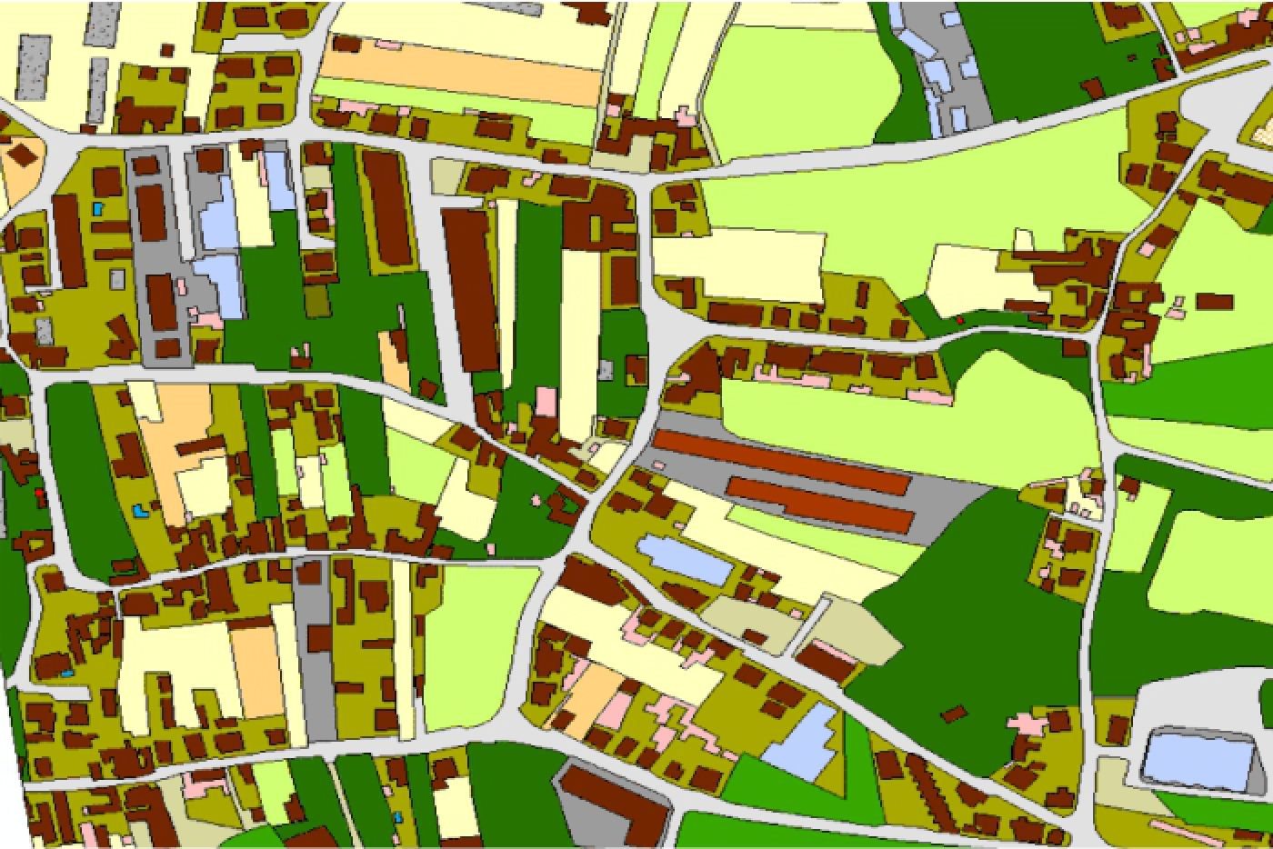
We produce all types of cartography and in any scale for the preparation of our clients' projects and construction planning. Our cartographic products are customised and generated based on the objectives and requirements of the client, respecting national and international standards.
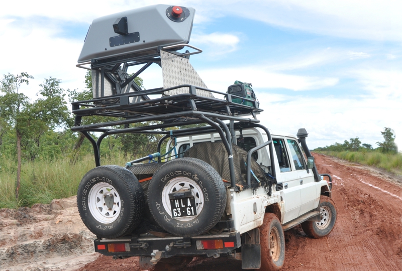
We generate various types of digital terrain models from remote sensing data, aerial photography or LiDAR flight, classical topography and/or LiDAR.
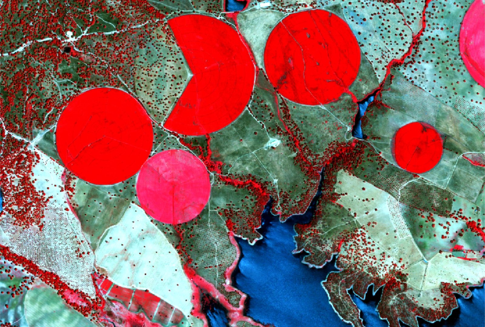
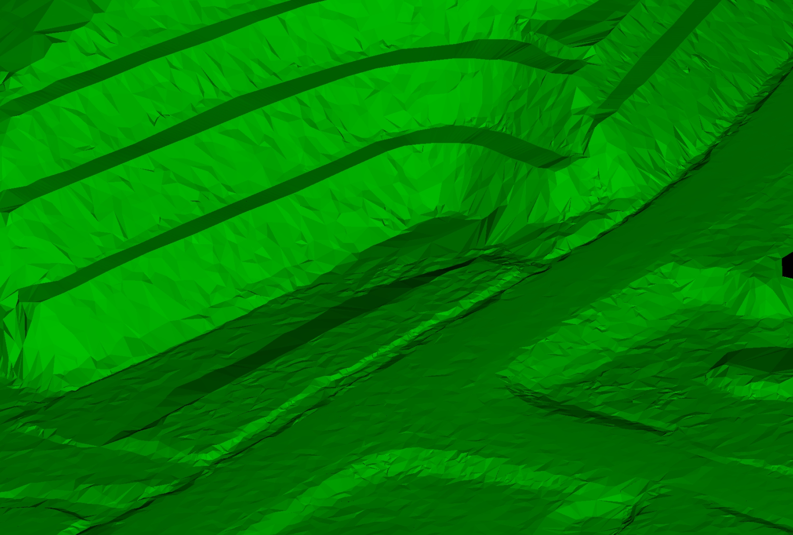
With horizontal and vertical centimetric accuracies it is possible to generate DEM, MDT, DSM, topographic maps and planimetric details.
A wide variety of geographic results are extracted from the clouds of elevation points with accuracies compatible with scales from 1:200.

FOLLOW US